The Map Sheets plugin for gvSIG 2.0 has just been released (read official announcement here). This plugin allows the user to create and print map series covering a certain area of interest. Each resulting sheet will have its particular values for certain fields. This new version of the plugin also allows each sheet frame to be rotated, which means that the top margin will not necessarily be the North:
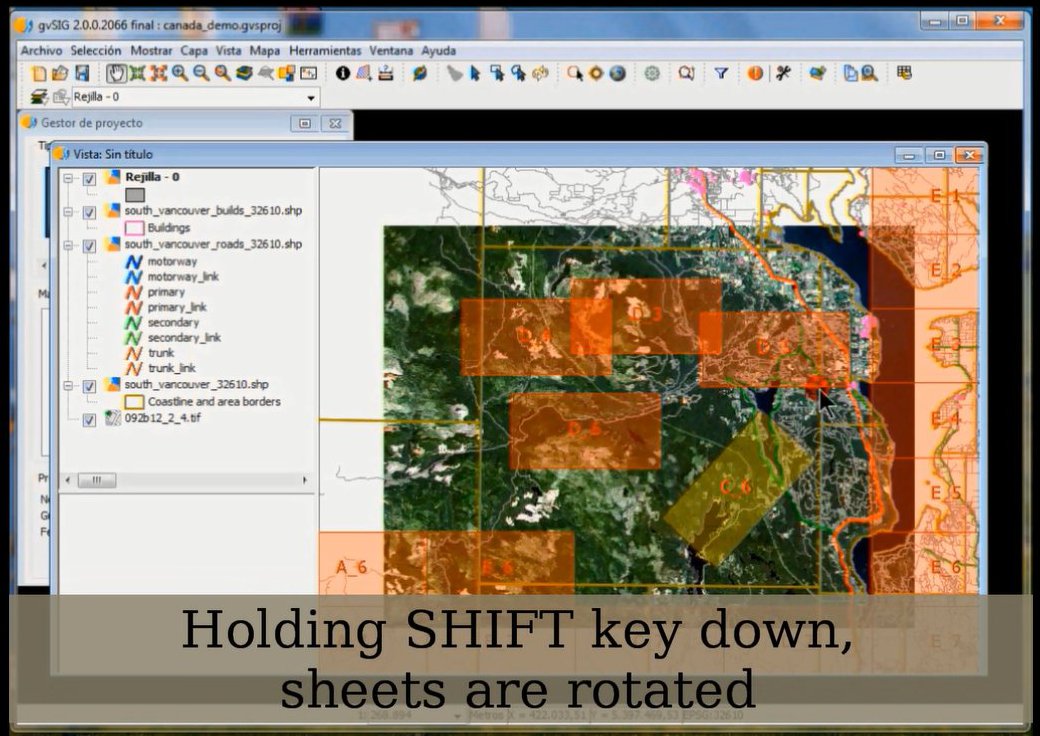
User can rotate sheet frame by holding down the SHIFT key and dragging the mouse. Click to see full image.
Description of some components of one of the resulting maps. Click to see full image.
This video illustrates the plugin usage as it goes through its essential functionalities: