
In the days between the 20th and 22nd of September the final event of the Nasa Worldwind Europa Challenge was held. In this year’s edition the gvSIG Association made it into the first 3 places with 2 projects, which is an amazing result. Moreover both the gvSIG Desktop version and the Online version got rewarded. This is a terrific result for the gvSIG project and brings gvSIG into the hall of fame of userfriendly 3D supporting GIS.
Day 1
Day 1 brought the more technical and academic world together, featuring some keynote presentations mainly about the importance of OpenStreetMap as a Commons value and heritage of everyone (well, there was much more, but would need a post on its own.. Citizen Science, VGI, OSM quality…). Great talks were given by Professor Maria Brovelli and Maurizio Napolitano.
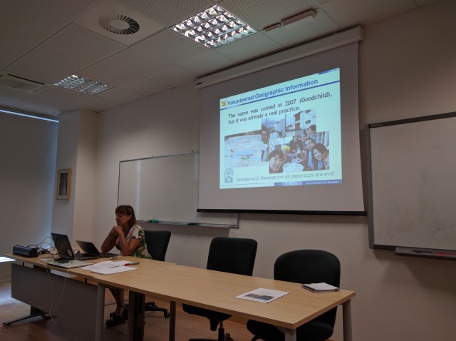
Maria talking, beyond other things, about VGI
Maurizio, in a very passionate talk about why OSM is a Commons. Here he explains how business owners in Venice create their own traffic signs in order to redirect tourists towards their shops 🙂
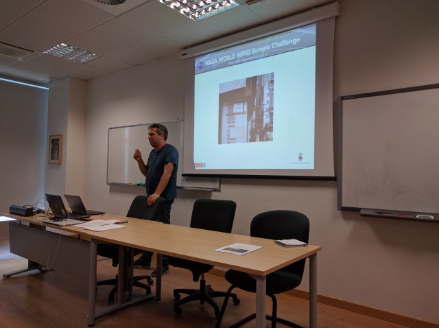
For me it has been the first time I had to represent the Association officially and it has been great! gvSIG was in the final rounds of the challenge with both gvSIG Dektop and Online.
So we showcased them:
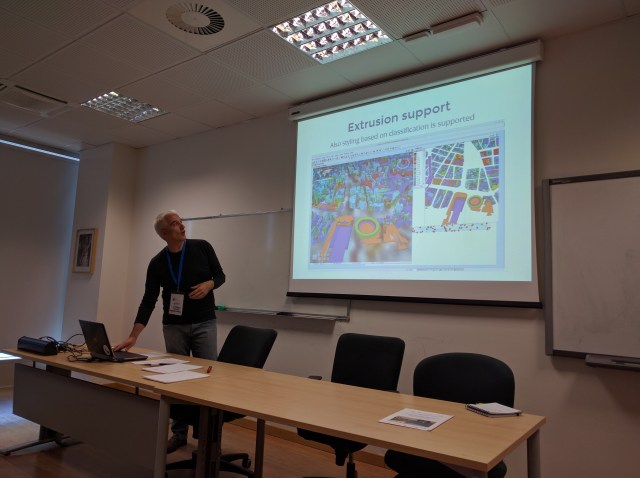
The new extrusion support for vector data in gvSIG Desktop at its best.
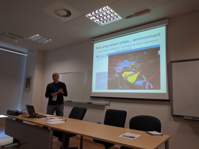
A great visualization of hydro-geological hazard maps in 3D with gvSIG online
Day 2
Day 2 was dedicated to a huge brainstorming of the members of the professional, academics and students groups. This has been an amazing time, during which, together with Duccio Rocchini (a researcher from the Research Center Fondazione Mach I hadn’t met in a while and was glad to be able to work with) in less than one day we:
- developed a simple algorithm to identify biodiversity,
- implemented it java and
- processed a LiDAR digital elevation model with it
I have to admit that it has been great to see so much commitment from the younger generations. It made me feel good!
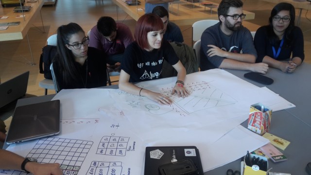
Highschool students working on the theory of the algorithm
Writing down the code of the algorithm together on a shared screen. This has been an amazing fun/pair programming!

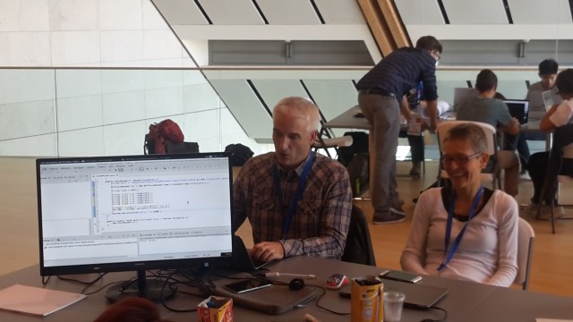
Our great tutor Duccio Rocchini presenting the results during the last day

One of the results gained in one single day! Biodiversity extracted from the digital elevation model.
Day 3 – The Finals
The last day recapped everything and squeezed it into a single morning. Every team of every category was allowed to present his project in a bunch of minutes and at the end of it all, the winning projects were rewarded.
For the professional track, the gvSIG Association got the second and third prize for the projects based on gvSIG Desktop and gvSIG Online. This has been an amazing achievement and I can’t stop to congratulate not only all those developers that have worked on the projects, but also the whole community and gvSIG ecosystem for growing constantly.
Getting that high in an international challenge involving NASA with two projects is really an achievement we can all be proud of!
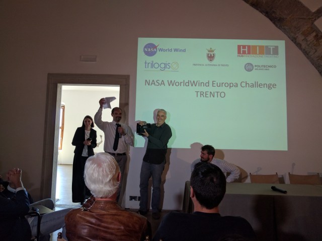
The gvSIG projects getting the prize for the second and third place. Now the bull won in 2015 won’t be alone any more! 🙂


Pingback: Conferencia en la Space Apps Challenge de la NASA, sobre gvSIG y 3D | gvSIG blog