
The Nàquera municipality has launched its Spatial Data Infrastructure, based on gvSIG Online technology, the gvSIG Suite solution for SDIs.
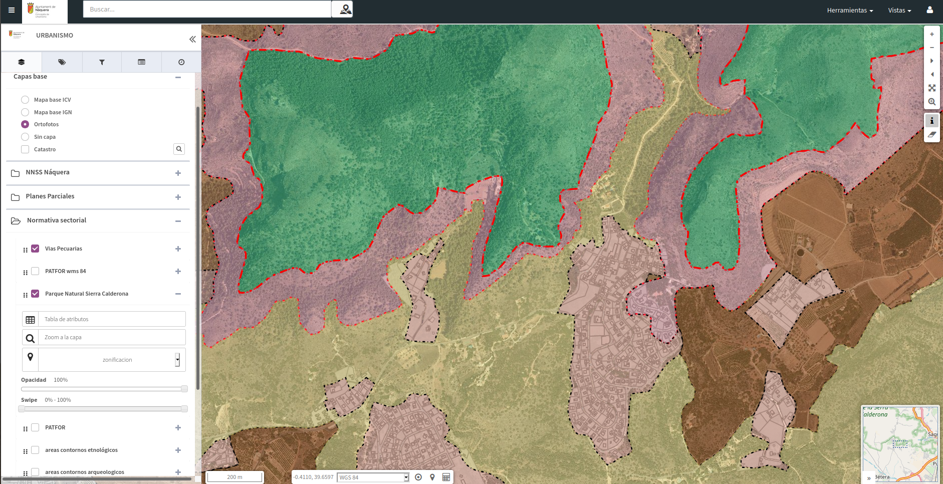
As first public geoportal, which can now be consulted, an urban planning map viewer has been generated, in which it is possible to access different town-planning information of the municipality, partial plans, sector regulations (livestock roads, Sierra Calderona Natural Park, …), cadastre.
In this way, the Nàquera City Council joins the increasingly numerous group of local administrations that are committed to the gvSIG Online solution for the management of their geographic information. A bet based on the use of open source and standard technologies.


