
Among the many tools available to gvSIG Online users, there are those related to enumerations. These types of functionalities are extremely useful for data maintenance, as they allow us to define the possible values for a field. They become even more useful when using gvSIG Mapps integrated with gvSIG Online, as when capturing or updating information using the mobile application, these fields will display dropdown menus for easily selecting the corresponding value for each recorded element.
Enumeration lists can be added, modified, or deleted from the administration area of gvSIG Online. We can create a list from scratch or instruct gvSIG Online to automatically generate it based on the unique values available in that field. Interesting, right?
Once an enumeration is created, we can also assign it to other fields in other layers. Even more interesting, isn’t it?
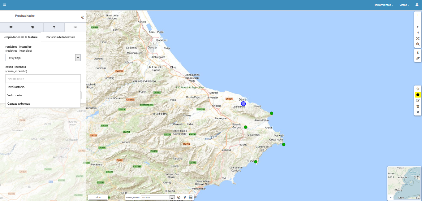
When editing a published layer in a project, these fields will display a dropdown menu with the elements that make up the list, and one of them can be selected to assign it as an attribute of a map element, if it is of type “enumeration,” or multiple elements if it is of type “multiple enumeration.”
And, as we mentioned earlier, in gvSIG Mapps, we would automatically have our dropdown menus ready to facilitate data collection in the field.


Pingback: Working with Enumerations in #gvSIG Online (and #gvSIG Mapps) – GeoNe.ws