
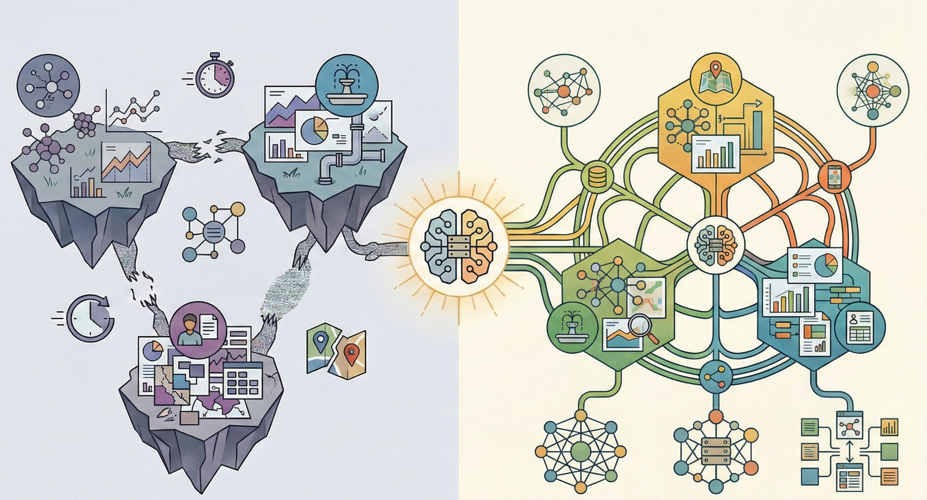
A Spatial Data Infrastructure (SDI) works like the nervous system of the digital territory. It is not always visible, but it connects data, people, and decisions. When everything works properly, it goes unnoticed. When it does not exist, problems become chronic.
Outdated layers, unresponsive services, duplicated or inconsistent data… the outcome is well known: wasted time, poor coordination between departments, and decisions made with incomplete information— not to mention the public service role that SDIs play in terms of communication and transparency with citizens.
In this context, the gvSIG Association is committed to SDIs based on open standards, where information is managed in a centralized, interoperable, and accessible way. Solutions such as gvSIG Online, integrated with field data capture tools, case management systems, population register applications, industrial area management tools, cemetery management systems, and more, allow the SDI to truly function as a stable, maintainable infrastructure aligned with the real workflows of public administrations that rely on a territorial component.
SDIs rarely make headlines. Their value lies in what their proper functioning contributes to internal management and to public service delivery.
At gvSIG, we understand the SDI as an essential public infrastructure: open, interoperable, and built to last. Not as a one-off project, but as a common foundation on which to build better services, better decisions, and a more transparent relationship between public administrations and citizens. Because when the SDI works, everything else starts to work better.


