
During the last 2nd gvSIG Festival there was a webinar about how to learn to use gvSIG in 30 minutes.
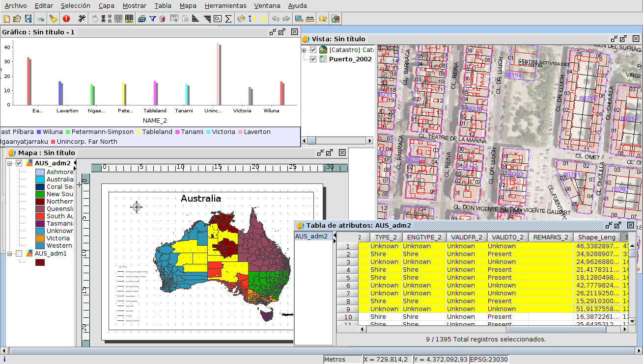 At this webinar you will see how to load vector and raster files, applying symbology and labelling for vector files. You also will learn to reproject a shapefile, and manage its attribute table. And to finish the webinar, you will be able to see how to create a shapefile, digitalizing several polygons, and filling out their alphanumerical information, and then how to create a map, with the legend, north, scale…
If you want to follow this webinar you can download the cartography, and here you have the video:


Pingback: Learning gvSIG in 30 minutes – GeoNe.ws
Pingback: Practical webinars: "Learning gvSIG in 30 minutes" and “Geostatistics: R integration in gvSIG” ~ GIS Gig : GIS Gig
Pingback: Recording of webinar on “gvSIG Suite: open source software for geographic information management in agriculture” is now available | gvSIG blog