The Durazno Departmental Administration, which manages one of the nineteen departments that make up the Eastern Republic of Uruguay, has launched its Spatial Data Infrastructure, putting faith in gvSIG Online as the technological base for the management of all its geographic information.
The SDI portal is accessible here: https://durazno.gvsigonline.com/gvsigonline/
Besides private geoportals that may be operational, you can already access several public geoportals, allowing you to consult considerable information, such as the following:
https://durazno.gvsigonline.com/gvsigonline/core/load_public_project/InundacionesCiudaddeDurazno/
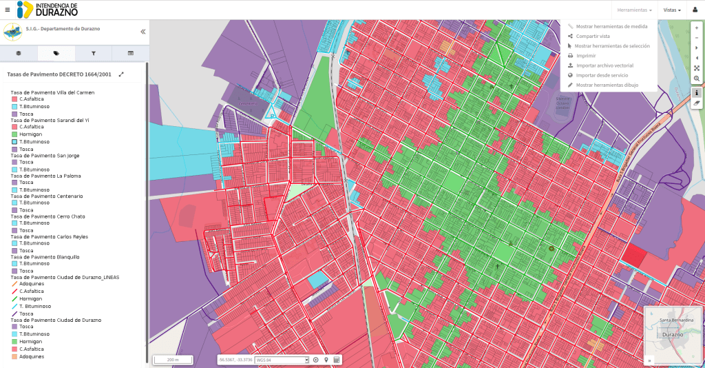
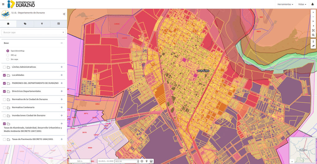
…where we can even access information on pavement and lighting taxes, health, urban development and environment.
From the gvSIG Association we congratulate the Municipality of Durazno for putting faith in open source software to modernize and optimize its territory management. An example that we hope will be replicated in other municipalities.