
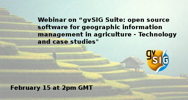
GODAN and gvSIG Association invite you to join the webinar about “gvSIG Suite: open source software for geographic information management in agriculture – Technology and case studies“, in February 15th at 2PM GMT.
This webinar will deal with the gvSIG Suite, the whole catalog of open source software solutions offered by the gvSIG Association, and case studies about forestry and agriculture of the different products.
With free registration, this event is appropriate for all users interested in knowing how to work with an open source Geographic Information System in agriculture and forestry sectors.
We will speak about gvSIG Desktop, the Desktop GIS to manage geographic information and make vector and raster analysis, gvSIG Mobile, for field data gathering with mobile devices, and gvSIG Online, an integrated platform for Spatial Data Infrastructure, to create geoportals in an easy way and manage cartography between different departments in an organization.
Attendees will be able to interact with the speakers by sending their comments and questions through chat.
Registrations are available from: https://app.webinarjam.net/register/24718/18244a0afc
The webinar details are:
- Date: Thursday, February 15, 2018
- Time: 2:00 PM – 3:00 PM GMT
Local time: https://www.timeanddate.com/worldclock/fixedtime.html?msg=Webinar+on+%E2%80%9CgvSIG+Suite%3A+open+source+software+for+geographic+information+management+in+agriculture+-&iso=20180215T14&p1=136&ah=1 - Language: English


Pingback: Webinar on “gvSIG Suite: open source software for geographic information management in agriculture” – GeoNe.ws
Oh, I missed the date. Is there a recording available? That would be nice!
Hi Frank, we’ve just published a post with the recording and all the interesting links that we spoke about:
Lucky me, thanks a lot!