
A new geoprocess is now available in gvSIG, that allows to convert a 3D or 3DM layer into a 2D layer. This geoprocess will delete the Z and/or M coordinates, leaving only the X and Y coordinates. It can be applied on any type of geometry.
Thanks to this new plugin you can use certain geoprocesses that only worked on 2D layers. If an error appeared when performing any of the geoprocesses available at the Toolbox in gvSIG, it could be caused because some of the input layers was a 3D layer. By converting these layers into 2D layers previously, the geoprocesses can be performed without problem.
To install this plugin you must access the Add-ons Manager (Tools menu), and connect by URL to the server that appears by default. In the next window, search by the term “2D” the “Transform Geometries to 2D” plugin will appear. Selecting and installing it, you must restart gvSIG to have it available in the application.
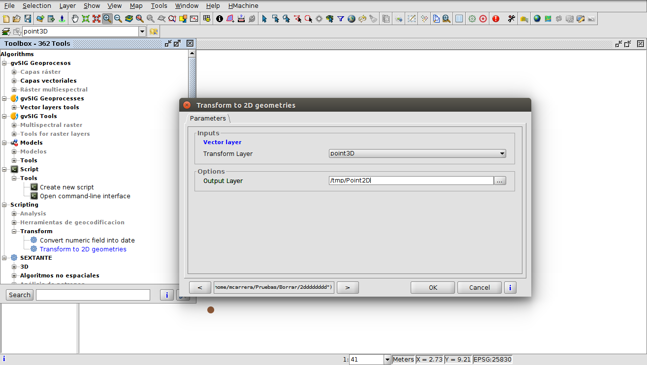
Once installed, we will have it available by accessing the Toolbox, and accessing to the Scripting-> Transform section. We only need to select the input layer, and the name and path of the output layer.


Pingback: New geoprocess to convert a 3D vector layer into a 2D layer – GeoNe.ws
Pingback: First gvSIG 2.5 build for testing is already available | gvSIG blog