
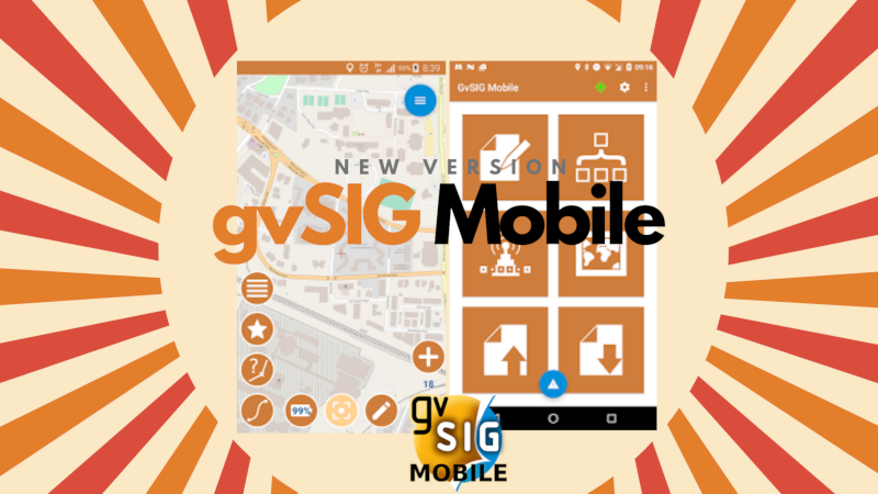
 The new gvSIG Mobile version, the Geographic Information System for Android systems for field data gathering, is now available to install from Google Play Store.
The novelties of this new version are the following:
- Cloud Profiles available: When a web server is configured to serve Cloud Profiles, gvSIG Mobile can automatically download Projects, Basemaps, Spatialite Overlays, forms for Notes, and other files. When a user activates a downloaded Profile, Basemaps are made available, Overlays are attached to the Map View and layers are set to display.
- GPS Location Limitations on Android Oreo have been fixed: Now it is possible to log GPS tracks with the screen off.
- Values in settings: The settings screen now shows the current values without the need to enter each setting.
- Buttons size: Button and text size of the add note view can be changed for better interaction in the field.
- Notes settings: The notes settings view is now accessible from the notes list.
- PDF export: The PDF export now allows to export a subset of notes.
- Linked resources: It is now possible to view not only images stored in a Spatialite database when they are related to (geospatial) features but also for example PDF.
- Full basemaps erasing: In the basemaps view it is now possible to remove all maps in one tap.
- Mapurl service: Tanto Mapurl service, which was used to download automatically configured mapurls based on WMS services, is no longer maintained and has therefore been removed also from gvSIG Mobile.
- Mapping points: Better feedback about form name and positioning mode (GPS or Map Center) in actionbar.
- Export: All exports now follow all the same pattern. They are exported in the gvsigmobile/export folder and their name is made if the project name + type + timestamp of export.
- Profiles: Activate button for profiles is now on the main cardview.
- Forms size: Better proportion of forms in portrait mode.
- Forms save button: Save button in forms now a floating action button to remind user to save.
- Tile sources: Tile sources icon is now always visible in actionbar.
- Dashboard enhancements: Visualize number of notes and logs, open notes list on long tap.
- Internationalization: Translations have been updated.
… and several bugfixes.
gvSIG Mobile is the application that allows you to map points using customized forms that include pictures, drop-outs, sketches …, which can be easily exported for a more advanced analysis in gvSIG Desktop, the open source Desktop Geographic Information System that is also part of the gvSIG Suite together with gvSIG Online. These forms can be created from gvSIG Desktop in an easy way.
Among the most important gvSIG Mobile tools there are tiles importing, bookmarks importing, vector data export and editing through Spatialite, WMS servers loading…
If you want to learn how it works you just have to install it on your Smartphone and follow the next video (recorded on the previous version, so you can find some small difference):
And if you have any doubt or if you find any error you can use the project mailing lists.


Pingback: A new @gvSIG Mobile version is now available – GeoNe.ws