
Jaspersoft is an open source tool for the creation of reports. It’s very powerful and widespread use. In this tool you can create a report template that later will be fill by gvSIG.
Jaspersoft includes some default template but we can create a new ones from cero.
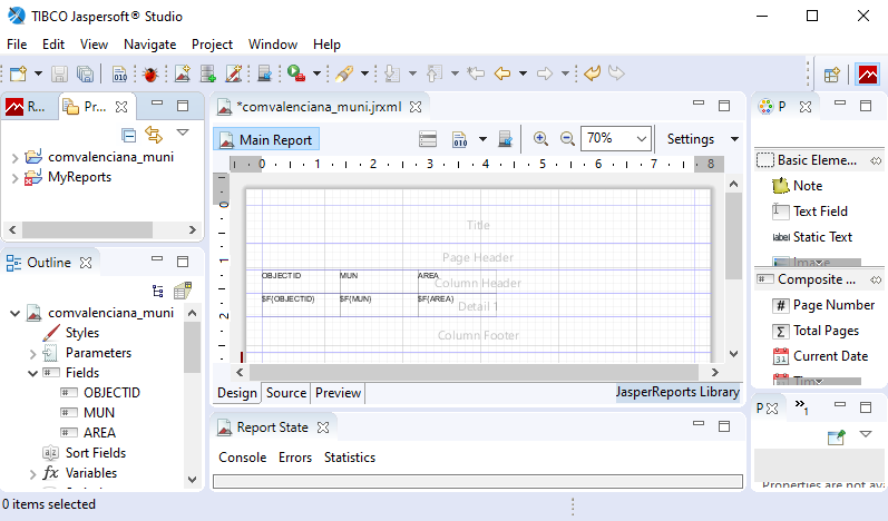
We have created an integration with this software. gvSIG Desktop will be use as a server of alphanumeric data and for maps images for our designed reports.
 This reports could be associated with a specific layer or table. For example, if this is the case, it will appear in different tools like in the search panel or in the forms where you can find an icon to export to a report.
 Once the templates are designed, you will need to make just a few clicks to make them work and create the final report. It will be not necessary that you have installed Jaspersoft, gvSIG include all what it needs to use that template and filled with data.

With this new integration, gvSIG becomes a tool able for capture data, process data and export the data in maps or reports, all without going out of gvSIG.


Pingback: gvSIG Desktop 2.5 has arrived: Downloads are available now! | gvSIG blog
Pingback: Towards @gvSIG 2.5: Integration with Jaspersoft for Reports – GeoNe.ws
Pingback: Towards gvSIG Desktop 2.5.1 | gvSIG blog