
Sometimes we need a tool that will allow to take quick notes over the map. The objective of this notes can be explicatory of certain characteristics of the map, reminders of certain work that we need to do, etc.
For that purpose we have created Quick Drawing Tool.
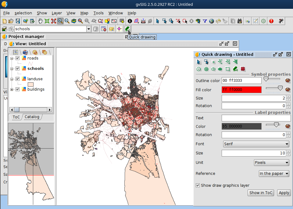
This tool allow to draw over the with points, lines, geometric figures or hand free drawing. In the tool we can see the attributes of this geometries. You will be able to choose some characteristics like label, size, color, font, etc.
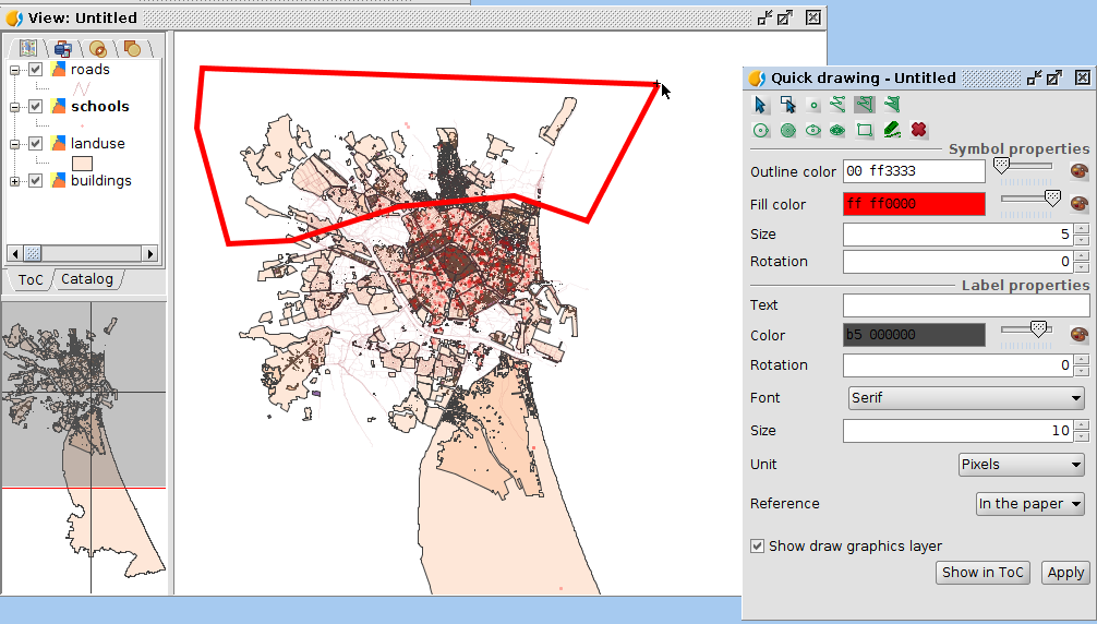
In this case we are going to draw a polygon.
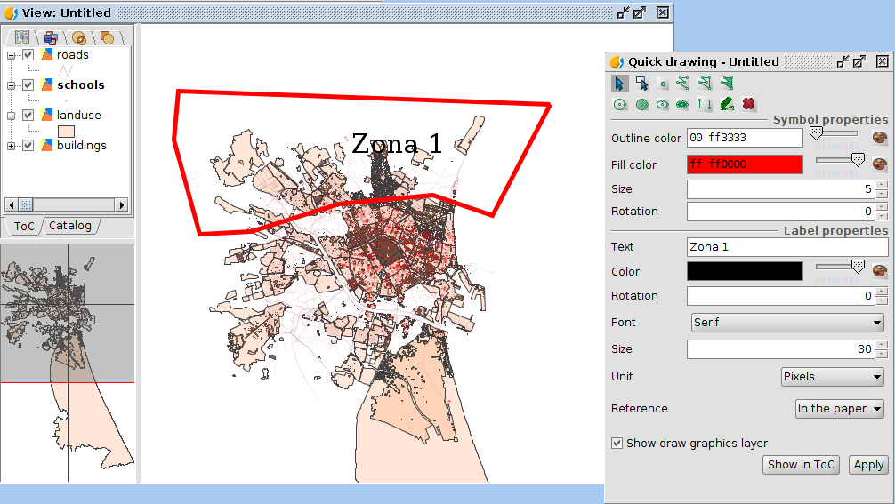
Now, using the selection tools of this plugin (by point or by polygon) you can select the line again and change its attributes. For example, we are going to give it some label and then press “Apply”. If we press over the red cross we delete the annotation.
Also, we are going to try the hand free tool and the points tool.

If you don’t want to see just open the tool over the view and desactive the option “Show draw graphic layer”. Also, you can load the layer in the ToC to use more advanced tools from gvSIG desktop over this layer.
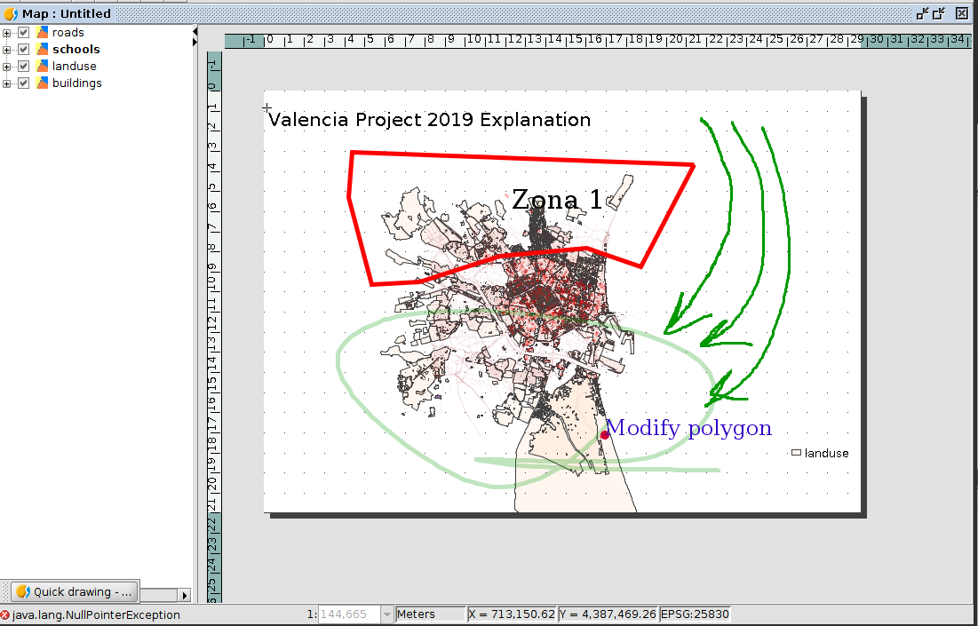
You can print this annotations in the map tool.
This layers created by this tool will automatically be saved in your project. If you open your project and go to your view, just open the tool and this will load the layer.


Pingback: gvSIG Desktop 2.5 has arrived: Downloads are available now! | gvSIG blog
Pingback: Towards @gvSIG 2.5: Quick Drawing – GeoNe.ws