
We continue with the third module of the free GIS course, where we are going to show you how to work with Tables.
Through three video-tutorials you will be able to learn to work with alphanumeric information and Data Bases, to know table tools and to join and link tables.
To follow the course you need:
- gvSIG Desktop, that you can download here: http://www.gvsig.com/en/products/gvsig-desktop/downloads
- Data used in the exercises, available from http://downloads.gvsig.org/download/documents/learning/gvsig-courses/cartography/Learn_GIS_Data.zip
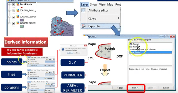
3.1 Import, edit tables and filters
3.2 Working with tables
3.3 Join tables
Enjoy!
Related post:


Pingback: Learn GIS for free. Module 3: Working with Tables – GeoNe.ws
Pingback: Module 4: Working with Maps | gvSIG blog
Pingback: Learn GIS for free. Module 5: Create and editing vectorial layers | gvSIG blog
Pingback: Learn GIS for free. Module 6: Geoprocessing | gvSIG blog
Pingback: Learn GIS for free. Module 7: Raster GIS. Working with Raster Data | gvSIG blog
Pingback: Learn GIS for free. Module 8: Vegetation index and unsupervised classification | gvSIG blog
Pingback: Learn GIS for free. Module 9: Raster reclassification and raster calculator | gvSIG blog
Pingback: Learn GIS for free. Module 10: Digital Elevation Model analysis | gvSIG blog
Pingback: Learn GIS for free. Extra Module : GPS and Mobile GIS | gvSIG blog
Pingback: Learn GIS for free: The complete course | gvSIG blog