
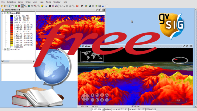
We are going to start to publish a series of videos that form a complete GIS course, using gvSIG Desktop for that. Together with these videos we will publish the data necessary to follow the exercises.
The course is recommended to everyone who hasn’t worked on GIS and want to introduce to this type of technologies, as well as users that have knowledge about it already and want to increase it.
The course is made on gvSIG 2.1 version, and currently the last version is gvSIG 2.3.1 (we are working on the new 2.4 version already). We recommend you to use the last version published because it will have all the functionalities of the previous versions… and several improvements too.
It’s usual to have doubts when you follow the course. If you want to solve them you can use the users mailing list, available at this link: http://www.gvsig.com/en/community/mailing-lists
We are starting with three introductory videos:
1.1 GIS data types and formats
1.2 The Spatial Reference System
1.3 gvSIG preferences setup
Enjoy!


hello i’m from cameroon and i want to enroll for this course how may do to register
Hi, you don’t need to enroll, only follow this blog when we will publish all the videos
I would not want to miss this!
This is wonderful! Great job! Thank you!
Pingback: Learn GIS for free – GeoNe.ws
Pingback: Learn GIS for free. Module 2: Working with Views | gvSIG blog
I Really love this course
Please kindly to share videos that related to us. Thanks in advance
Pingback: Learn GIS for free. Module 3: Working with Tables | gvSIG blog
Pingback: Module 4: Working with Maps | gvSIG blog
Pingback: Bases de datos |
Pingback: Learn GIS for free. Module 5: Create and editing vectorial layers | gvSIG blog
Pingback: Learn GIS for free. Module 6: Geoprocessing | gvSIG blog
Pingback: Learn GIS for free. Module 7: Raster GIS. Working with Raster Data | gvSIG blog
Pingback: Learn GIS for free. Module 8: Vegetation index and unsupervised classification | gvSIG blog
Pingback: Learn GIS for free. Module 9: Raster reclassification and raster calculator | gvSIG blog
Pingback: Learn GIS for free. Module 10: Digital Elevation Model analysis | gvSIG blog
Pingback: Learn GIS for free. Extra Module : GPS and Mobile GIS | gvSIG blog
Pingback: Learn GIS for free: The complete course | gvSIG blog
Thank you!
I love so much this course!
Pingback: Ecología y conservación marina. Ciencias Marinas. |
Thank you so much! Very interesting and useful course.
Pingback: Apprendre à utiliser un SIG sans précédent connaissances, un apprentissage très particulier avec la série « Game of Thrones » ! - Veille cartographique 2.0
Thank for your generous help to improve our learning GIS.
10Q 4 Ur help
Very helpful l was studying geographic information system and remote sensing Ian graduated before 2 month .
I found this great job I want to continue this course.
Is there a certificate at the end of this course?
At this course there isn’t a certificate, but there are other free courses where you can get it by paying a small amount. Here you have some of them:
– GIS municipality management: https://blog.gvsig.org/2018/03/12/gis-applied-to-municipality-management-certification-and-links-to-the-complete-course/
– Archaeology: https://blog.gvsig.org/2019/02/14/free-course-about-geographic-information-systems-applied-to-archaeology-certification-and-links-to-the-complete-course/