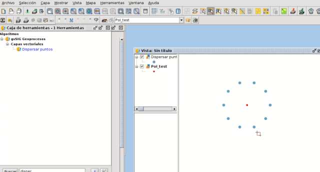
We present another novelty for the next gvSIG Desktop version, a geoprocess that allows to separate points that are located at the same coordinates (or close to them, depending on the tolerance level that we define) to a specified distance.
This geoprocess can be very useful when we want to identify elements visually that are in a same location at the data gathering. For example, data referred to the center of the street line. Continue reading