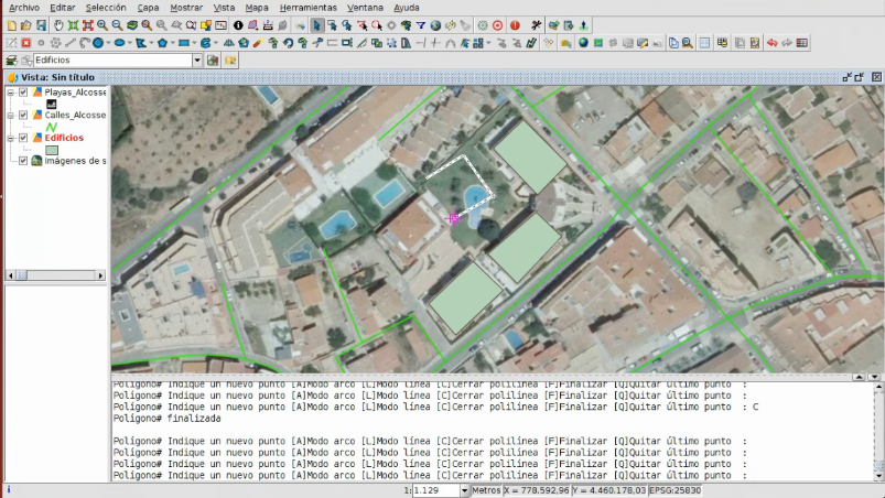
The first video of the seventh module is now available, in which we will see the editing tools in gvSIG.
Editing is a very important part in a Geographic Information System, since it allows us to create new vector layers, digitize elements, add alphanumeric information to these geometries… This is what we will see in this first part of the module.
There are many tools available in the gvSIG editing module, and one of the main ones is the creation of new elements (points, lines, polygons …). Once they are created, we can rotate, scale or move them, we can create parallels, we also can lengthen or cut lines, join or split geometries, create autopolygons, etc.
We can digitize both with reference cartography, for example an orthophoto, and use the editing console to write the coordinates of the inserting point.