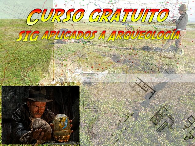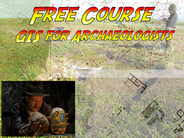
In recent years, Geographic Information Systems (GIS) have radically evolved the way in which spatial data are collected, analyzed and interpreted. Because of their characteristics, GIS have become useful applications for archaeologists. The appearance of gvSIG, with a complete suite of GIS solutions in open source software, has meant that more and more professionals in the sector are adopting gvSIG as a working tool.
However, there is still a wide ignorance of the potential of GIS in archaeology, and there are only a few free teaching materials that allows training in its use. For these reasons, from the gvSIG Association, we launch a course that will allow to know of these technologies. A free course, with open source software (gvSIG Desktop). Continue reading →