
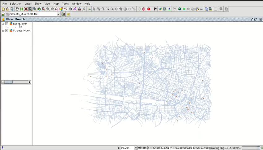
The second video of the eighth module is now available, in which we continue showing how to create point layers from a table. In this case we will create an event layer, that means, a point shapefile from a table with coordinates.
For example, the table can be composed of geographic coordinates that we could get from a topography survey with GPS.
This functionality is another way to generate our cartography in a town hall, in this case when we only have the coordinates of the points.
 The cartography to follow this video can be downloaded from this link.
Here you have the second videotutorial of this eighth module:
Related posts:
- Module 1: Differences between GIS and CAD
- Module 2: Introduction to reference systems
- Module 3: Views, layers, symbology, labelling
- Module 4.1: Attribute tables (alphanumeric information)
- Module 4.2: Attribute tables (joining tables)
- Module 5.1: Web services (Introduction to SDI)
- Module 5.2: Web services (Loading web services from gvSIG)
- Module 5.3: Web services (Non-standard services)
- Module 6: Add-ons manager
- Module 7.1: Editing (new layers, graphical and alphanumeric editing)
- Module 7.2: Editing (Derivative geometries)
- Module 8.1: Creation of point layers from tables (Geocoding: Points from a table with addresses)


Pingback: GIS applied to Municipality Management: Module 8.2 ‘Creation of point layers from tables (Event layers)’ – GeoNe.ws
Pingback: GIS applied to Municipality Management: Module 9 ‘Hyperlink’ | gvSIG blog
Pingback: GIS applied to Municipality Management: Module 10 ‘How to convert cartography from CAD to GIS’ | gvSIG blog
Pingback: GIS applied to Municipality Management: Module 11 ‘Reprojecting vector layers’ | gvSIG blog
Pingback: GIS applied to Municipality Management: Module 12 ‘Geoprocessing’ | gvSIG blog
Pingback: GIS applied to Municipality Management: Module 13 ‘Layouts’ | gvSIG blog
Pingback: GIS applied to Municipality Management: Module 14 ‘Image georeferencing’ | gvSIG blog
Pingback: GIS applied to Municipality Management: Module 15 ‘gvSIG 3D’ | gvSIG blog
Pingback: GIS applied to Municipality Management: Module 16.1 ‘gvSIG Online (Publishing cartography, advanced editing…)’’ | gvSIG blog
Pingback: GIS applied to Municipality Management: Module 16.2 ‘gvSIG Online (Basic editing, hyperlink…)’ | gvSIG blog
Pingback: GIS applied to Municipality Management: Module 16.3 ‘gvSIG Online (Connection with gvSIG Mobile and enumerations)’ | gvSIG blog
Pingback: GIS applied to Municipality Management: Module 17 ‘gvSIG Mobile (Connection with gvSIG Desktop)’ | gvSIG blog
Pingback: GIS applied to municipality management: Certification and links to the complete course | gvSIG blog