
The video of the fifteenth module is now available, in which we will see the main functionalities of the 3D extension in gvSIG, based on NASA WorldWind application.
In this module the user will learn how to create a 3D View from a 2D one. The 3D Views that we can create are flat views, when we work in local areas, and spherical views, when we want to see them on the terrestrial sphere.
In the 3D Views we can visualize the digital elevation models, and we can overlap any other layer on them, such as an orthophoto.
On the other hand, if we have a vector layer with building footprints, and a field in which we have the number of floors or the height of the building, we can apply extrusion, so that we can see the polygons vertically as if it were the building, and it helps us to visualize the structure of the city in an easy way.
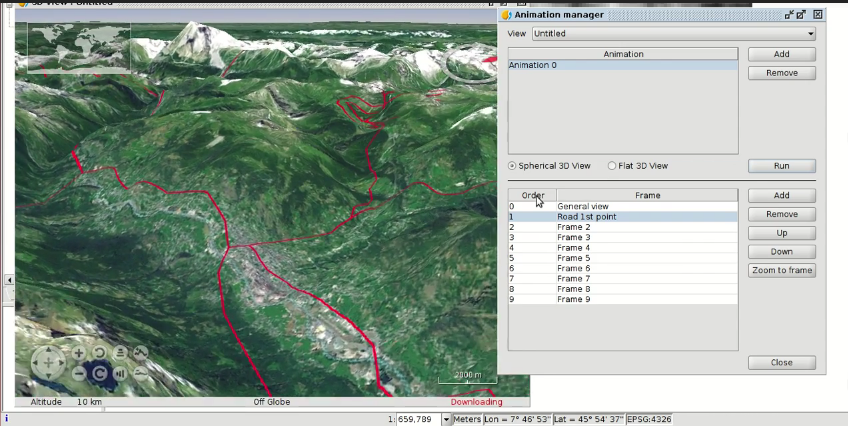
Finally, another functionality available in the 3D module is the tool to create animations. It’s made by capturing screens in certain frames, and then a video is created, interpolating between the different frames automatically. It’s very useful for a presentation, when we want to show the different areas of our city in detail.
The cartography to follow this video can be downloaded from this link.
Here you have the videotutorial of this new module:
Related posts:
- Module 1: Differences between GIS and CAD
- Module 2: Introduction to reference systems
- Module 3: Views, layers, symbology, labelling
- Module 4.1: Attribute tables (alphanumeric information)
- Module 4.2: Attribute tables (joining tables)
- Module 5.1: Web services (Introduction to SDI)
- Module 5.2: Web services (Loading web services from gvSIG)
- Module 5.3: Web services (Non-standard services)
- Module 6: Add-ons manager
- Module 7.1: Editing (new layers, graphical and alphanumeric editing)
- Module 7.2: Editing (Derivative geometries)
- Module 8.1: Creation of point layers from tables (Geocoding: Points from a table with addresses)
- Module 8.2: Creation of point layers from tables (Event layers)
- Module 9: Hyperlink
- Module 10: How to convert cartography from CAD to GIS
- Module 11: Reprojecting vector layers
- Module 12: Geoprocessing
- Module 13: Layouts
- Module 14: Image georeferencing


hi, please be sending the videos and accompanying text in English. Some languages am receiving cant understand.
Hello, if you press the first button of the right side at the bottom on the video, you can see the automatic subtitles and it seems it works good.
Pingback: GIS applied to Municipality Management: Module 15 ‘gvSIG 3D’ – GeoNe.ws
Pingback: GIS applied to Municipality Management: Module 16.1 ‘gvSIG Online (Publishing cartography, advanced editing…)’’ | gvSIG blog
Pingback: GIS applied to Municipality Management: Module 16.2 ‘gvSIG Online (Basic editing, hyperlink…)’ | gvSIG blog
Pingback: GIS applied to Municipality Management: Module 16.3 ‘gvSIG Online (Connection with gvSIG Mobile and enumerations)’ | gvSIG blog
Pingback: GIS applied to Municipality Management: Module 17 ‘gvSIG Mobile (Connection with gvSIG Desktop)’ | gvSIG blog
Pingback: GIS applied to municipality management: Certification and links to the complete course | gvSIG blog