
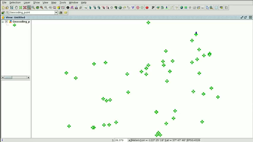
The first video of the eighth module is now available, in which we will show how to create point layers from a table. In this first case we will speak about geocoding, creating a point shapefile from a table with addresses.
Apart from addresses, that table could also contain characteristic elements such as museums, monuments, sports facilities…, that is, any place that we could find in search engines such as Google Maps, OpenStreetMap…, since it uses these search engines to create that layer.
This functionality is very useful in a municipality because if we have for example several tables with these type of elements or their addresses, we wouldn’t have to digitalize one by one. Thanks to this geoprocess we can do it automatically, and we would only have to tackle a quality control phase at the end to check that the results are correct (since as we know, these search engines also have certain errors). Besides, we can indicate that the geoprocess shows us which elements or addresses haven’t been found, in order to digitalize them in another way.
We will also show how to access to Google Street View from gvSIG, very interesting for office work, for certain queries that would avoid us to have to go to that place in person.
 The cartography to follow this video can be downloaded from this link.
Here you have the first videotutorial of this eighth module:
Related posts:
- Module 1: Differences between GIS and CAD
- Module 2: Introduction to reference systems
- Module 3: Views, layers, symbology, labelling
- Module 4.1: Attribute tables (alphanumeric information)
- Module 4.2: Attribute tables (joining tables)
- Module 5.1: Web services (Introduction to SDI)
- Module 5.2: Web services (Loading web services from gvSIG)
- Module 5.3: Web services (Non-standard services)
- Module 6: Add-ons manager
- Module 7.1: Editing (new layers, graphical and alphanumeric editing)
- Module 7.2: Editing (Derivative geometries)


Pingback: GIS applied to Municipality Management: Module 8.1 ‘Creation of point layers from tables (Geocoding: Points from a table with addresses)’ – GeoNe.ws
Pingback: GIS applied to Municipality Management: Module 8.2 ‘Creation of point layers from tables (Event layers)’ | gvSIG blog
Pingback: GIS applied to Municipality Management: Module 9 ‘Hyperlink’ | gvSIG blog
Pingback: GIS applied to Municipality Management: Module 10 ‘How to convert cartography from CAD to GIS’ | gvSIG blog
Pingback: GIS applied to Municipality Management: Module 11 ‘Reprojecting vector layers’ | gvSIG blog
Pingback: GIS applied to Municipality Management: Module 12 ‘Geoprocessing’ | gvSIG blog
Pingback: GIS applied to Municipality Management: Module 13 ‘Layouts’ | gvSIG blog
Pingback: gvSIG Desktop 2.4 is already available | gvSIG blog
Pingback: GIS applied to Municipality Management: Module 14 ‘Image georeferencing’ | gvSIG blog
Pingback: GIS applied to Municipality Management: Module 15 ‘gvSIG 3D’ | gvSIG blog
Pingback: GIS applied to Municipality Management: Module 16.1 ‘gvSIG Online (Publishing cartography, advanced editing…)’’ | gvSIG blog
Pingback: GIS applied to Municipality Management: Module 16.2 ‘gvSIG Online (Basic editing, hyperlink…)’ | gvSIG blog
Pingback: GIS applied to Municipality Management: Module 16.3 ‘gvSIG Online (Connection with gvSIG Mobile and enumerations)’ | gvSIG blog
Pingback: GIS applied to Municipality Management: Module 17 ‘gvSIG Mobile (Connection with gvSIG Desktop)’ | gvSIG blog
Pingback: GIS applied to municipality management: Certification and links to the complete course | gvSIG blog