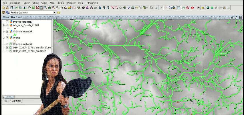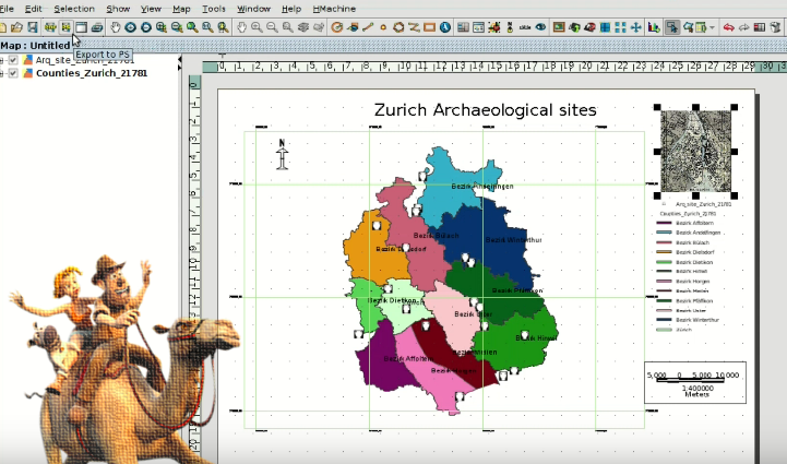
We have reached the end of the course about GIS for Archaeologists, where you are going to learn to create a Layout with the different cartographic elements such as scale, north, legend … For this you will start from a View of our GIS with archaeological sites cartography.
For all those who finish the course and want to get a certificate, we will publish a post with the instructions for it soon. Stay alert! Continue reading