
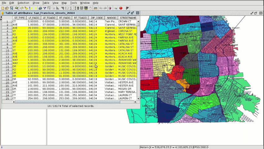
At this third module, the first one of the practical part, we will speak about how to create a project in gvSIG Desktop, including Views and adding layers on them. We will apply a legend on them too and we will see how to add labels to their elements.
To follow this module you have to install gvSIG Desktop and download the cartography, and although it’s explained at the video, here we are going to summarize how to do it:
- Access to the gvSIG Desktop Downloads section of the gvSIG website: http://www.gvsig.com/en/products/gvsig-desktop/downloads
- Download the gvSIG version corresponding with your operating system. There are two available distributions:
- installable: It’s installed on your computer, through a wizard that you have to follow.
- portable: You only have to unzip the .zip file in a path without spaces (in Windows it doesn’t have to be directly in C:\), and you can run gvSIG Desktop directly (you can create a “gvsig” folder in C:\ for example, and then you move the portable version folder to it). In Windows you have to run the gvsig-desktop.vbs file, and in Linux the gvSIG.sh one.
- Download the cartography from http://downloads.gvsig.org/download/documents/learning/gvsig-courses/GIS_municipality_management_1/GIS_municipality_management_course-Module_3.zip
Note: If you get an error when installing gvSIG 2.3.1 on Windows 10 – 64 bits you can download the portable version where the problem is solved.
At the first module you can find a frequent questions section about the course, and if you have any doubt or error using gvSIG you can consult this post: https://blog.gvsig.org/2015/06/17/what-to-do-when-we-get-an-error-in-gvsig/
Here you have the videotutorial of this third module:
Related post:


Pingback: GIS applied to Municipality Management: Module 3 ‘Views, layers, symbology, labelling’ – GeoNe.ws
Thanks for this interesting course.
Pingback: GIS applied to Municipality Management: Module 4.1 ‘Attribute tables (alphanumeric information)’ | gvSIG blog
Pingback: GIS applied to Municipality Management: Module 4.2 ‘Attribute tables (joining tables)’ | gvSIG blog
Pingback: GIS applied to Municipality Management: Module 5.1 ‘Web services (Introduction to SDI)’ | gvSIG blog
Pingback: GIS applied to Municipality Management: Module 5.2 ‘Web services (Loading web services from gvSIG)’ | gvSIG blog
Pingback: GIS applied to Municipality Management: Module 5.3 ‘Web services (Non-standard services)’ | gvSIG blog
Pingback: GIS applied to Municipality Management: Module 6 ‘Add-ons manager’ | gvSIG blog
Pingback: GIS applied to Municipality Management: Module 7.1 ‘Editing (new layers, graphical and alphanumeric editing)’ | gvSIG blog
Pingback: GIS applied to Municipality Management: Module 7.2 ‘Editing (Derivative geometries)’ | gvSIG blog
Pingback: GIS applied to Municipality Management: Module 8.1 ‘Creation of point layers from tables (Geocoding: Points from a table with addresses)’ | gvSIG blog
Pingback: GIS applied to Municipality Management: Module 8.2 ‘Creation of point layers from tables (Event layers)’ | gvSIG blog
Pingback: GIS applied to Municipality Management: Module 9 ‘Hyperlink’ | gvSIG blog
Pingback: GIS applied to Municipality Management: Module 10 ‘How to convert cartography from CAD to GIS’ | gvSIG blog
Pingback: GIS applied to Municipality Management: Module 11 ‘Reprojecting vector layers’ | gvSIG blog
Pingback: GIS applied to Municipality Management: Module 12 ‘Geoprocessing’ | gvSIG blog
Pingback: GIS applied to Municipality Management: Module 13 ‘Layouts’ | gvSIG blog
Pingback: GIS applied to Municipality Management: Module 14 ‘Image georeferencing’ | gvSIG blog
Pingback: GIS applied to Municipality Management: Module 15 ‘gvSIG 3D’ | gvSIG blog
Pingback: GIS applied to Municipality Management: Module 16.1 ‘gvSIG Online (Publishing cartography, advanced editing…)’’ | gvSIG blog
Pingback: GIS applied to Municipality Management: Module 16.2 ‘gvSIG Online (Basic editing, hyperlink…)’ | gvSIG blog
Pingback: GIS applied to Municipality Management: Module 16.3 ‘gvSIG Online (Connection with gvSIG Mobile and enumerations)’ | gvSIG blog
I am following the course, I would like to have the cartography for the course. I have only for module 3 can’t see where to download the other cartography for other modules.
Hi Abel, here you have all the modules with the corresponding cartography to follow them:
https://blog.gvsig.org/?s=GIS+applied+to+Municipality+Management
And in every video in Youtube there’s a link to download the cartography too.
Pingback: GIS applied to Municipality Management: Module 17 ‘gvSIG Mobile (Connection with gvSIG Desktop)’ | gvSIG blog
Pingback: GIS applied to municipality management: Certification and links to the complete course | gvSIG blog
Hi . Please how can one have access to a pdf or word version of the entire tutorial.
Hi, this course is given through videotutorials. If you want to follow a course in text format, you have these ones:
– https://blog.gvsig.org/2017/07/12/learning-gis-with-game-of-thrones-free-book/
– http://www.gvsig.com/es/divulgacion/material-didactico/-/asset_publisher/LOsLdYA88rU2/content/gis-for-disaster-risk-management
– http://www.gvsig.com/es/divulgacion/material-didactico/-/asset_publisher/LOsLdYA88rU2/content/introduction-to-gvsig-2-1-workshop